ALL TRAILS LEAD TO & FROM THE PARK FALLS AREA!
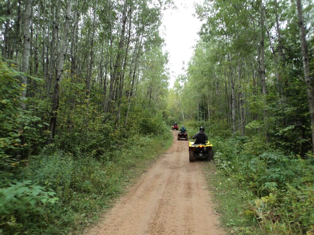
The Park Falls Area proudly offers a wide variety of trail experiences that will captivate every ATV/UTV enthusiast! Ride over 500 miles of trails with THOUSANDS of miles of connecting trails!
Flambeau Trail – 70 miles – Open: May 1 - March 14
ATVs/UTVs up to 65″ wide, Off-road Motorcycles, Hike, Bike, Snowmobiles, Horseback Riding
The Flambeau Trail System is an interconnecting network of trails which vary in length from less than one mile to over 23 miles. Many lakes, streams and the South Fork of the Flambeau River are accessible from the Flambeau Trails. The CNNF has announced that 65 inch wide ATVs & UTVs are allowed!
Tuscobia Trail – 74 miles – Open: April 15 – November 15
ATVs/UTVs up to 65″ wide, snowmobiles, Hike, Bike, Horseback Riding
The Tuscobia State Trail is an abandoned rail corridor turned recreational trail. It is the connecting bloodline to several other area trails. The trailhead in Park Falls offers convenient loading/unloading ramp and ample parking along with bathrooms, pavilion and playground. Riders can travel from Park Falls non-stop to Birchwood located on the western-most edge of Sawyer County.
Dead Horse Run Trail – 62 miles – Open: May 1 - March 14
ATVs/UTVs up to 50″ wide, Off-road Motorcycles, Hike, Bike, Snowmobiles, Horseback Riding
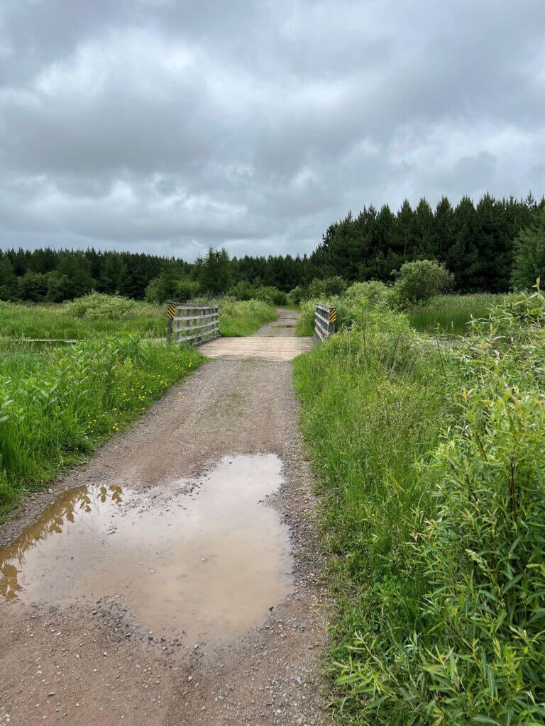
The Dead Horse Run Trail offers a vast array of terrain types. Much of the trail has firm tread however, there is some rugged terrain and some sections go through wet soils where pools of water may even be present. Try it if you feel you are up to the challenge!
Flambeau River State Forest Trail Open: May 15 - March 14
The Flambeau River State Forest Trail is a 38-mile multiple use trail consisting of forest roads, town roads and snowmobile routes located in the Flambeau River State Forest. The trail system connects directly to the Tuscobia State Trail. There are very few services along the trail. This is a multipurpose trail that allows motorized and non-motorized use. The trail gives access to 90,000 acres of forest land along two branches of the scenic Flambeau River.
Solberg Trail Open: May 1 - March 14
The trail is a total of 9.5 miles long including trail riding on a graveled surface and road routes. It crosses numerous wooden boardwalks and meanders through a variety of different forest types connecting to the Flambeau Trail System at Sailor Lake Campground located in the Chequamegon-Nicolet National Forest (CNNF). You can also access Solberg Lake County Campground sites 1-16 and 37-60 via East Solberg Lake Road
Georgetown Trail Open: May 15 - March 14
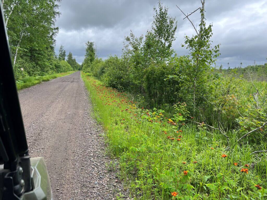
The Georgetown Trail is located entirely in the Price County Forest, with a mostly gravel surface. It meanders through a variety of forest types. Parking areas with loading/unloading ramp are located on both the north and south ends of the trail.
Pine Line Trail (winter only trail)
The trail is a 26-mile abandoned railroad grade open to ATVs and UTVs in the winter only when trails are declared officially open to snowmobiles and the temperature is below 28 degrees.
WISCONSIN REGISTRATION & TRAIL PASS INFORMATION:
Wisconsin Residents are required to obtain a Wisconsin ATV/UTV Registration; Non-Residents are required to obtain a Wisconsin ATV/UTV Trail Pass prior to operating an all-terrain vehicle on any trail or route. Registrations and Trail Passes can be obtained three easy ways:
- Online - Quickly and conveniently go online to register using a credit card by clicking here for the DNR ATV Online Registrations Page;
- In Person - Purchased over the counter at many DNR Authorized Sales Locations. Click here to find an Authorized Sales Location;
- By mail - Complete the ATV/UTV Registration Application Form 9400-376 [PDF] and mail the application with appropriate fees to the address provided on the form. If the decals have expired, applicants must wait to receive materials in the mail before they can operate their ATV or UTV.
For additional information on Registrations/Trail Passes, click here to visit the Wisconsin DNR ATV page.
